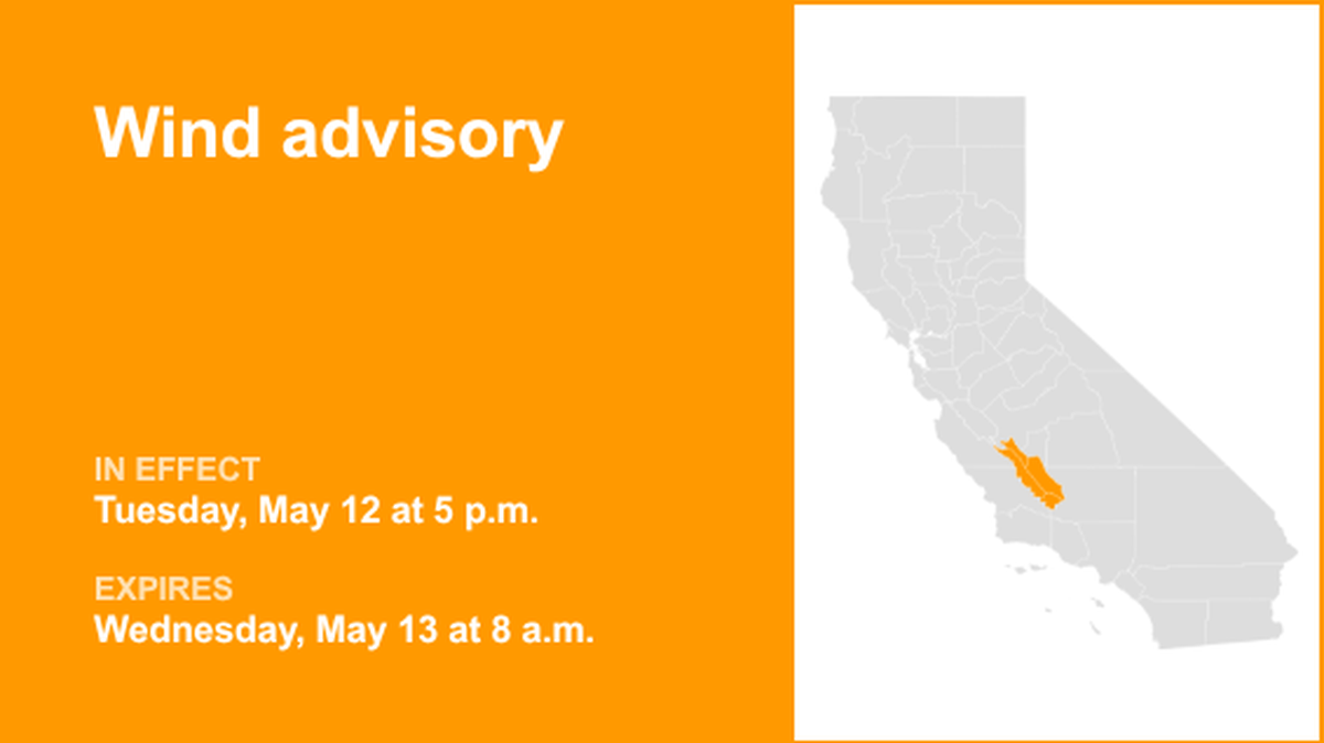
On Monday at 9:19 p.m., the NWS Hanford CA issued a wind advisory that will remain in effect from Tuesday at 5 p.m. until Wednesday at 8 a.m. The advisory covers Coalinga – Avenal and West Side Mountains South of 198, along with Kern and Buena Vista counties. The NWS states, “West winds 15 to 25 mph with gusts up to 40 mph expected.” “Gusty winds will blow around unsecured objects.
Tree limbs could be blown down and a few power outages may result. Hot temperatures and high humidity may cause heat illnesses,” the NWS explains. “Winds this strong can make driving difficult, especially for high profile vehicles. Use extra caution. Drink plenty of fluids, stay in an air-conditioned room, stay out of the sun, and check up on relatives and neighbors. Take extra precautions when outside.
Wear lightweight and loose fitting clothing. Try to limit strenuous activities to early morning or evening. Take action when you see symptoms of heat exhaustion and heat stroke. To reduce risk during outdoor work, the Occupational Safety and Health Administration recommends scheduling frequent rest breaks in shaded or air conditioned environments.
Anyone overcome by heat should be moved to a cool and shaded location. Heat stroke is an emergency! Call 9 1 1.” This advisory remains in effect until Wednesday at 8 a.m.
High wind alerts: What each level means
When high wind alerts are issued, staying informed is critical. The NWS breaks these alerts into three categories, each reflecting a different level of danger:
High wind warning: Take action. Strong, sustained winds with even more powerful gusts are occurring. Move to shelter immediately. If you must drive, keep both hands firmly on the wheel and reduce your speed.
Wind advisory: Take action. Strong winds are happening, though they are not severe enough for a High wind warning. Secure outdoor belongings and use extra caution while driving.
High wind watch: Be prepared. Strong, sustained winds could develop. Tie down loose outdoor objects and adjust plans ahead of time so you are not outside if conditions worsen.
How to prepare before strong winds arrive
- Trim tree branches that hang near your home or power lines.
- Fasten loose gutters and shutters securely.
- Choose an interior room in your home, such as a basement or interior bathroom, where you can shelter during high wind warnings.
- If you live in a mobile home, identify a sturdy building you can move to if the NWS issues a high wind or severe thunderstorm warning.
- Fully charge batteries for important devices, including cell phones, booster packs, weather radios and power tools like a reciprocating saw that may help clear debris.
- Refresh your emergency kit and make sure it contains enough food and water to support each person in your household for at least three days.
- Create a list of outdoor items that need to be secured or stored away so they do not become airborne or crash through windows.
- Once the NWS issues a high wind watch, secure those items immediately before wind speeds increase.