Autumn made its presence firmly known today, with afternoon temperatures peaking at a modest 52°F. A steady buildup of clouds moving in from the north is expected to persist throughout the evening, holding overnight lows in the 40s.
**Friday**
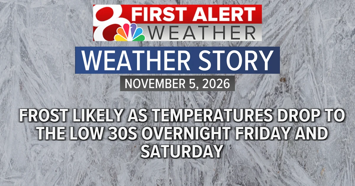
Tomorrow’s high temperatures are anticipated to be marginally cooler, remaining in the upper 40s for the majority of the day. Following sunset, temperatures will decline rapidly, approaching freezing levels by late evening. Frost formation is considered likely overnight, extending into the early hours of Saturday morning.
**Weekend**
Saturday is projected to follow a pattern similar to Friday, with daytime temperatures settling in the low to mid 50s. Overnight lows are expected to once again hover near the freezing mark. However, a gradual warming trend is set to take hold on Sunday, with temperatures climbing into the low to mid 60s.
**Trend**
Temperatures ranging from the mid to upper 60s are forecast to persist as the region moves into the following week. Conditions are expected to remain predominantly dry, with little to no rainfall anticipated throughout much of the period.