A building ridge of high pressure over the Pacific Ocean is sending temperatures surging across the Bay Area beginning Wednesday, with even hotter conditions expected Thursday.
Lamont Bain, a meteorologist with the National Weather Service, identified “offshore flow” as the “culprit” driving the rapid temperature spike — a pattern in which wind blows from inland toward the ocean, pushing hot air into coastal regions that are typically much cooler.
“When we see these offshore flow patterns, that really allows us to bake, because we don’t get the influence of the marine layer,” he told SFGATE.
Wednesday will bring temperatures running 5 to 15 degrees above average across much of the Bay Area, while Thursday is on track to run closer to 20 degrees above normal, Bain said. The North Bay, where red flag warnings are already in effect, could climb as much as 25 degrees above normal.
The National Weather Service issued a heat advisory taking effect at noon Thursday for parts of the region, as interior valleys — particularly at higher elevations — are forecast to hit 103 degrees. Even coastal areas could reach between 80 and 96.
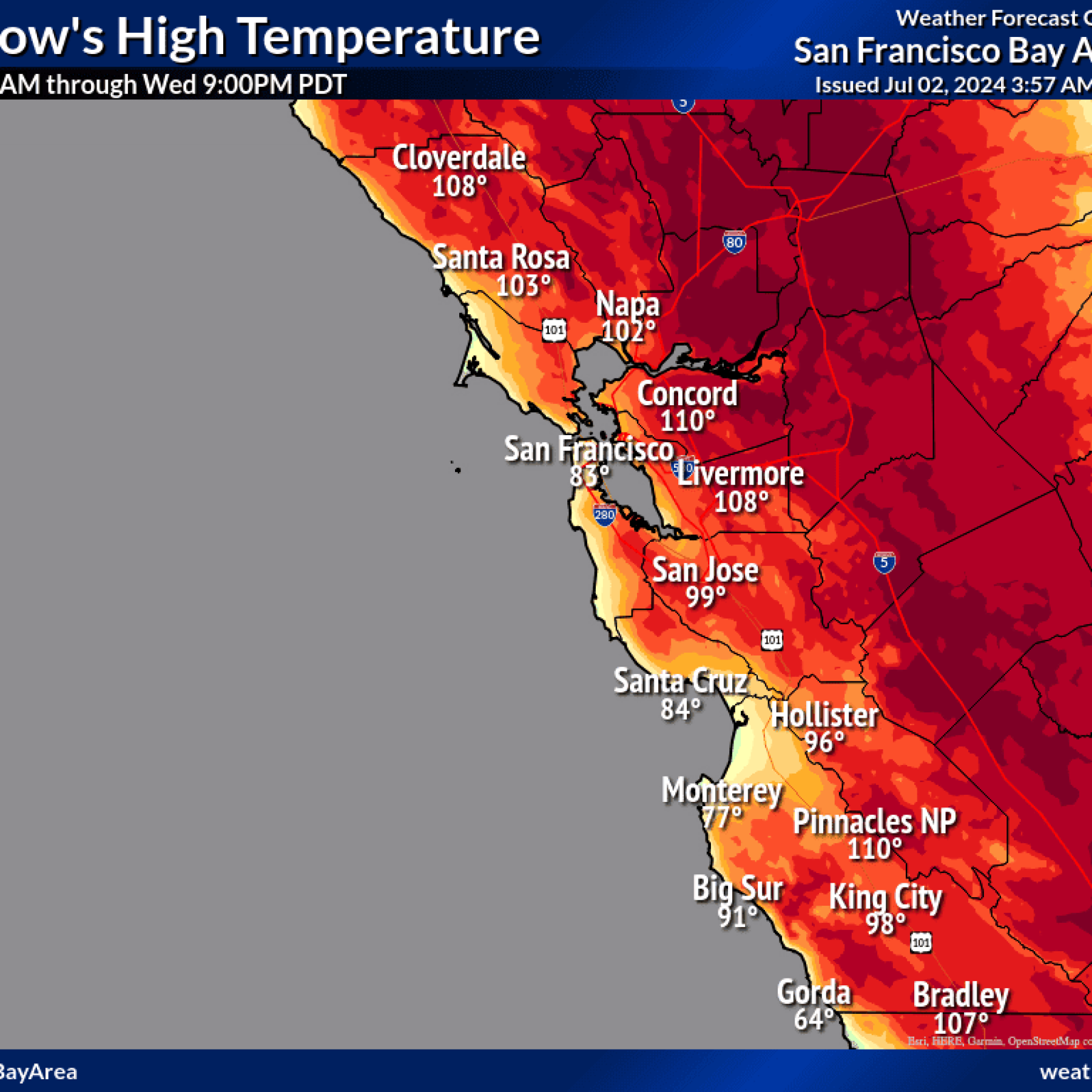
Inland East Bay temperatures are already on the rise. Concord is forecast to hit 96 Wednesday and 104 Thursday. San Jose is expected to approach 90 Wednesday and around 95 Thursday. Even downtown San Francisco, typically the coolest corner of the region, will feel the shift — rising to 77 Wednesday and 84 Thursday.
Bain warned that the hot, windy conditions will also strip moisture from hillside vegetation, raising wildfire risk. “Even just a couple of days of sunshine will dry those grasses out,” he said.
The weather service issued a red flag warning for parts of the North Bay interior mountains and the East Bay Hills, running from Wednesday at 11 p.m. through 9 a.m. Thursday. The warning reflects a forecast of low humidity and winds of 10 to 20 mph, with gusts expected to reach 45 mph — and up to 60 mph along the ridgetops.
It marks the first red flag warning of the year for the Bay Area, arriving as Cal Fire continues working to contain a fire burning in nearby Yolo County.
“The combination of the hot, dry, and windy conditions will result in critical fire weather conditions where any fires that start could take hold and spread rapidly,” the weather service forecast discussion read.
PG&E said it plans to implement public safety power shutoffs for customers in parts of Colusa, Glenn, Lake, Sutter, Tehama and Yolo counties beginning Wednesday evening. Bay Area counties of Sonoma, Solano and Napa are also “likely” to face shutoffs due to the high winds.
Temperatures are expected to ease somewhat on Friday, Bain said, though forecast models remain unclear on how much relief arrives — particularly if ocean winds come in “weaker” than anticipated.
Despite the sunny, dry stretch ahead, the weather service is urging Bay Area residents to stay alert to a separate concern: flooding driven by “high astronomical tides.” The tidal surge is forecast to run about 1.2 feet above normal on Thursday and around 1.5 feet above normal on Friday, raising the risk of inundation in low-lying areas along the bayshore.