Little Rock, Arkansas – Strong wind gusts and a dangerous late-season cold snap are sweeping across Arkansas, bringing winds up to 50 mph early Monday and temperatures expected to drop into the teens by sunrise.
According to the National Weather Service in Little Rock, a Wind Advisory remains in effect until 7 a.m. CDT Monday across much of the state. Northwest winds between 15 and 25 mph, with gusts reaching up to 50 mph, may knock down tree limbs, scatter unsecured items, and cause isolated power outages.
Cities including Little Rock, North Little Rock, Conway, Pine Bluff, Russellville, Hot Springs, Camden, Batesville, and Mountain Home could see the strongest wind gusts during the early morning hours. Motorists traveling on exposed roadways, such as Interstate 40 near Conway and U.S. Highway 65 through central Arkansas, should drive carefully, particularly those operating high-profile vehicles.
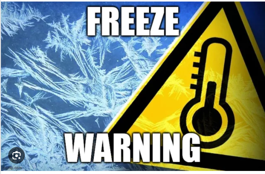
At the same time, a Freeze Warning remains in place until 10 a.m. Monday, with temperatures in some areas dropping to 15°F. This hard freeze may damage vegetation and outdoor plumbing.
Another wave of freezing temperatures is forecast tonight. A second Freeze Warning will begin at 10 p.m. Monday and remain in effect until 10 a.m. Tuesday, as overnight lows across the state fall to around 19°F.
Forecasters warn that the prolonged cold spell could kill crops and damage early spring plants, especially after recent mild weather triggered early growth.
Residents should secure outdoor items, cover delicate plants, and protect exposed pipes before temperatures drop again overnight. Additional cold-weather alerts may follow if temperatures fall lower than expected by Tuesday morning.