
Thursday morning temperatures are somewhat milder compared to recent days, ranging through the 40s and 50s. While conditions are less severe, the air remains cool enough to warrant a jacket before heading outside. Commuters should also remain cautious of patchy dense fog that may develop in certain areas during the morning drive.
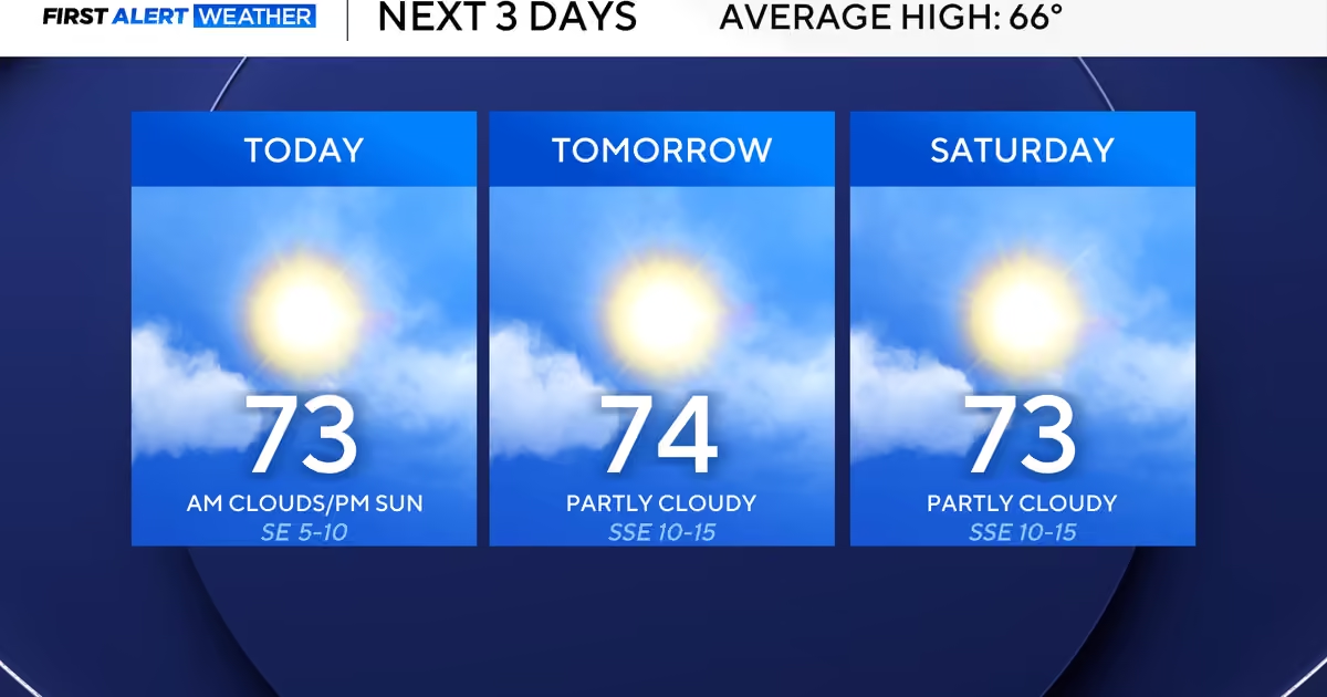
Afternoon highs on Thursday are expected to reach the lower 70s, with skies featuring a combination of clouds and periods of sunshine.
Above-average temperatures are forecast to continue into the weekend, ahead of the first cold front anticipated to move through the region Saturday night. This system is expected to bring temperatures down into the 60s by Sunday, along with a modest 20% chance of showers. A second cold front is then projected to arrive on Monday.
The second frontal system is expected to usher in considerably cooler air, with temperatures dropping into the 50s. These cooler conditions are anticipated to persist through the Thanksgiving holiday.
According to the First Alert Weather Team, overnight and early morning temperatures across the Dallas-Fort Worth Metroplex could dip into the 30s on several mornings throughout the coming week.