
Friday begins on a cool note across North Texas, with temperatures settling in the 40s and 50s during the morning hours. Throughout the day, conditions are expected to remain largely pleasant, with mostly sunny skies and highs climbing into the upper 60s.
As Saturday progresses, increasing cloud cover and strengthening winds will define the day, with temperatures reaching only into the low 60s.
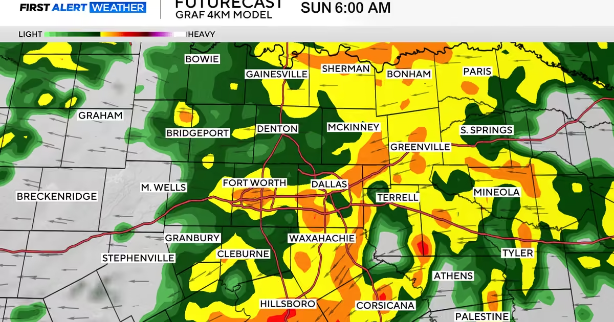
Rain chances are expected to rise sharply as Saturday transitions into Sunday, which has been designated a First Alert Weather Day due to the anticipated arrival of disruptive and heavy rainfall. The most intense precipitation is forecast to occur during the overnight hours, with some areas potentially receiving up to 1.5 inches of rain.
By Sunday afternoon, the bulk of the rainfall is expected to have shifted east of the Metroplex. Temperatures will remain on the cooler side, with highs topping out in the 50s.
The cool weather pattern is set to persist into the early part of the following week. Residents should anticipate a series of chilly nights, while daytime high temperatures are projected to gradually climb as the week progresses. An additional round of rain chances is currently expected to return by the following Thursday.